• MAGAZINE
    • Current Issue
    • Issue Archives
      • 2025 CatfishNow Magazine Archives
      • 2024 CatfishNow Magazine Archives
      • 2023 CatfishNow Magazine Archives
      • 2022 CatfishNow Magazine Archives
      • 2021 CatfishNow Magazine Archives
      • 2020 CatfishNow Magazine Archives
      • 2019 CatfishNow Magazine Archives
      • 2018 CatfishNow Magazine Archives
      • 2017 CatfishNow Magazine Archives
      • 2016 CatfishNow Magazine Archives
  • MEDIA LIBRARY
    • Article Library
    • Videos
    • Catfish Basics
    • Catfish Conservation
    • Why We Catfish
  • FIND A GUIDE
  • Media Kit
  • INFO
    • About CatfishNow
    • Privacy Policy
    • Contact Us
FREE SUBSCRIPTION
No Result
View All Result
  • MAGAZINE
    • Current Issue
    • Issue Archives
      • 2025 CatfishNow Magazine Archives
      • 2024 CatfishNow Magazine Archives
      • 2023 CatfishNow Magazine Archives
      • 2022 CatfishNow Magazine Archives
      • 2021 CatfishNow Magazine Archives
      • 2020 CatfishNow Magazine Archives
      • 2019 CatfishNow Magazine Archives
      • 2018 CatfishNow Magazine Archives
      • 2017 CatfishNow Magazine Archives
      • 2016 CatfishNow Magazine Archives
  • MEDIA LIBRARY
    • Article Library
    • Videos
    • Catfish Basics
    • Catfish Conservation
    • Why We Catfish
  • FIND A GUIDE
  • Media Kit
  • INFO
    • About CatfishNow
    • Privacy Policy
    • Contact Us
No Result
View All Result
Catfish Now
No Result
View All Result

Electronics by Wiegmann

Anglers can use their mobile devices headed to the lake or on the water with apps available in Android or iOS systems. (Brad Wiegmann Photo)

Mobile Apps for Fishing

by Brad Wiegmann

They have an app for everything. So it should come as no surprise to find out boating, navigation, or fishing apps available for Android or iOS operating systems for mobile devices. What is a surprise is how advanced these apps are when it comes to charting, overlays, map options, and daily updates.

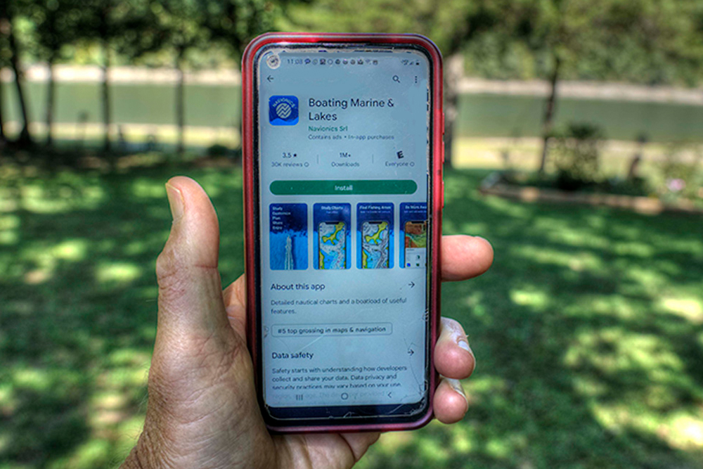
Doing a quick search will get you to boating, navigation, or fishing apps. Navionics Boating App and Lowrance Fishing & Navigation are two popular apps with some similar features and options. We’ll use the Navionics app as a reference. Note that these apps with advanced options are subscription based while some app companies may offer a basic feature app with mapping only. Mapping apps typically require Wi-Fi, an internet signal, or a cellular plan. However, limited map viewing is possible when offline.

There are free mobile device charting apps, but most require a paid subscription to use the more advanced features. (Brad Wiegmann Photo)

Charts available include Nautical, Sonarchart, and U.S. Government Charts including NOAA Charts. Nautical Chart is a cartographic reference for anglers that include most bodies of water. Other details like local navigation aids, nearby marine services, and depth contours will be found under charts. Navionics app includes SonarChart to produce high definition with a one-foot detail contour for easy identification of fishing areas.

Boring? Here’s the good stuff. Boating App can produce Satellite Imagery with Sonarcharts Shading overlay showing an enhanced awareness of what is below and above the waterline with shades of varying blue from a top-down view. This view is by far the best for any angler going to a new body of water and wanting to get an overview of that lake or river. Next Relief Shad is similar to overlay but uses color and shadow for imaging. Sonar Imagery imaging produces a view showing bottom hardness in vivid color but is hard to decipher or look at for any period of time.

What this app does is allow the angler to customize their view to focus on details related to fishing. Highlighting shallow areas allows the angler to shade your preferred depth to target deeper ledges or dangerous shallow areas. Anglers can also adjust contour density so any overlapping contour lines are spaced out by lowering the density level of the chart. Plus anglers can select a fishing range of depth to highlight areas where fishing may be located quickly at a glance.

In addition to these apps for mobile devices, these can also be connected to a tablet. To do that the user has to connect directly through a router with Wi-Fi along with a paid subscription. The best part about this is being able to share sonar logs between devices.


Contact Us
info@catfishnow.com
334-285-1623

Copyrights © 2024 CatfishNOW. All Rights Reserved.

No Result
View All Result
  • Magazine
    • Current Issue
    • Magazine Archives
      • 2025 CatfishNow Magazine Archives
      • 2024 CatfishNow Magazine Archives
      • 2023 CatfishNow Magazine Archives
      • 2022 CatfishNow Magazine Archives
      • 2021 CatfishNow Magazine Archives
      • 2020 CatfishNow Magazine Archives
      • 2019 CatfishNow Magazine Archives
      • 2018 CatfishNow Magazine Archives
      • 2017 CatfishNow Magazine Archives
      • 2016 CatfishNow Magazine Archives
  • Media Library
    • Videos
    • Articles
    • Catfish Basics
    • How To’s
    • Catfish Kids
    • Catfish Gear
    • Profiles in Passion
    • Catfish Conservation
    • Catfish Speak
    • River Rumors
    • Why We Catfish
  • FIND A GUIDE
  • Media Kit
  • Info
    • About CatfishNOW
    • Contact Us
  • FREE SUBSCRIPTION

Copyrights © 2024 CatfishNOW. All Rights Reserved.

This website uses cookies. By continuing to use this website you are giving consent to cookies being used. Visit our Privacy and Cookie Policy.