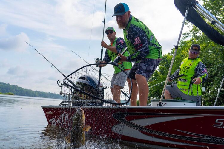
Catch More Flatheads Using Your Sonar/GPS Unit
by Brad Wiegmann
It’s a fact. Anglers have been catching flatheads long before any of them put a sonar unit on the boat. Your great grandfather didn’t use a sonar unit and still caught plenty, even some big flatheads.
Today’s flathead catfish anglers are benefiting from advanced sonar to find and catch flatheads faster. So what’s all the fuss about using sonar when fishing for flatheads?
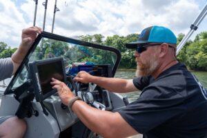
“Some anglers use sonar to find and mark fish,” B’n’M Poles pro-staffer Jay Gallop said. “I use sonar to find where the fish are going to be. Then I can set up the boat and get it in the right position to present my baits where I marked the cover or structure. I spend lots of time behind the steering wheel looking at the graphs before casting out the first bait.”
Gallop uses 12-inch Lowrance Elite Ti2 and HDS LIVE on the console within easy reach and viewing distance. He has the charting panel open on the Elite Ti2 while the HDS LIVE has both the DownScan and SideScan panels open in a rectangle shape.
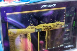
Gallop stacks the Downscan pane directly on top with the FishReveal feature turned on along with Auto Depth on, 800kHz, palette 6, and the contrast on A+4. The bottom panel is open with SideScan in palette 6 and set at a range of 100 feet.
“I use Lowrance SideScan to mark cover and structure with waypoints,” continued Gallup. “Then I can return to fish the structure that I’ve found. Marking the structure with waypoints allows me to measure and observe the distance from the boat to the structure once I anchor up. With that information, I can make a precision cast to the target.”
Mapping plays a major part in where these flathead pros fish. To maximize their time on the water they constantly adjust the screen size to look for places where flatheads will be located. Their units have a touchscreen which makes moving and changing map size easier and faster.
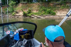
Most sonar units come with nautical charts and cartography maps, however, some of the included charts are limited in the amount of information they provide. Truth is, some sonar units even allow the angler to build their own bottom contour map, but those maps are limited due to the size of the information required. Most of those are an overlay of depth contour mapping based on live sonar sounding that can be valuable where there may not be any existing maps.
A quick look at maps available for sonar units includes Lowrance C-MAP, Garmin Navionics, or Humminbird LakeMaster. Anglers should check for mapping compatibility before purchasing a map card and also make sure the mapping card has coverage of the areas they plan to fish.
Every sonar unit that comes with mapping allows the angler to customize the setting according to the angler’s preference. If available, set the chart orientation to heading up and turn on the heading extension that allows you to see where the boat is headed.
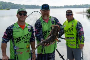
Fellow professional flathead anglers and B’n’M Poles Pros Joey Pounders and Dustin Goodwin typically use sonar the same way when searching for flatheads. They set the graph on 800kHz so it shows sharper images of rocks and trees, but will change to 455kHz when wanting to view a larger area.”
“We really aren’t using sonar to see baitfish where we stop to fish,” said Goodwin. “But we do like seeing baitfish in the area when we scan a location before setting out to fish.”
“We are looking for areas that big flatheads will hang out at and feed. Somewhere flatheads will hide to ambush prey,” added Pounders.
“A big thing we have to do when fishing is to keep the boat still,” advised Pounders. “We are going to pull up on the bank and secure the boat, often in less than 3 feet of water at the back of the boat. So we’re not really using sonar while fishing. However, we are using our navigation mapping to see where we have marked a tree or structure to come back and fish.”
“Once set up we click on the waypoint icon to see how far away from each tree and cast our bait accordingly,” continued Pounders. “I like to fish the structure right behind the boat because it is easier to cast our baits.”
The B’n’M Poles pros use 10-foot Sliver Cat Magnum rods rigged with a spinning reel to cast baits to spots they had marked with the sonar before securing the boat to the shoreline. Each rod is then placed in Driftmaster T-Bar rod holders located in the left and right corners of the stern.
The main line from the reel is 80-pound braid to a three-way swivel. A 60-pound monofilament hook drop is tied to the middle eye on a three-way swivel with a red 8/0 Boss Kat offset circle hook. The rig is completed with a break-away sinker drop off the bottom eye of the swivel using 25-pound monofilament leader.
“We normally only stay in one spot for 20 minutes,” Goodwin continued. “During that time we leave our electronics on. We can then move to our next waypoint when ready.”
“I’m not looking for deep holes in the middle of the river,” said Pounders. “I’m using mapping and sonar to look for deep holes next to the bank. That’s where chances are better to find a fallen tree covered up with big flatheads. A spot like that has two places where flatheads are likely to be. In the deeper hole next to the bank and the tree.”
Scanning with side-to-side imaging and down imaging has changed how and where professional flathead anglers are fishing. It allows anglers to eliminate some areas and fish in more productive spots. Electronics are helping anglers like Gallop, Goodwin, and Pounders catch more big flatheads.


